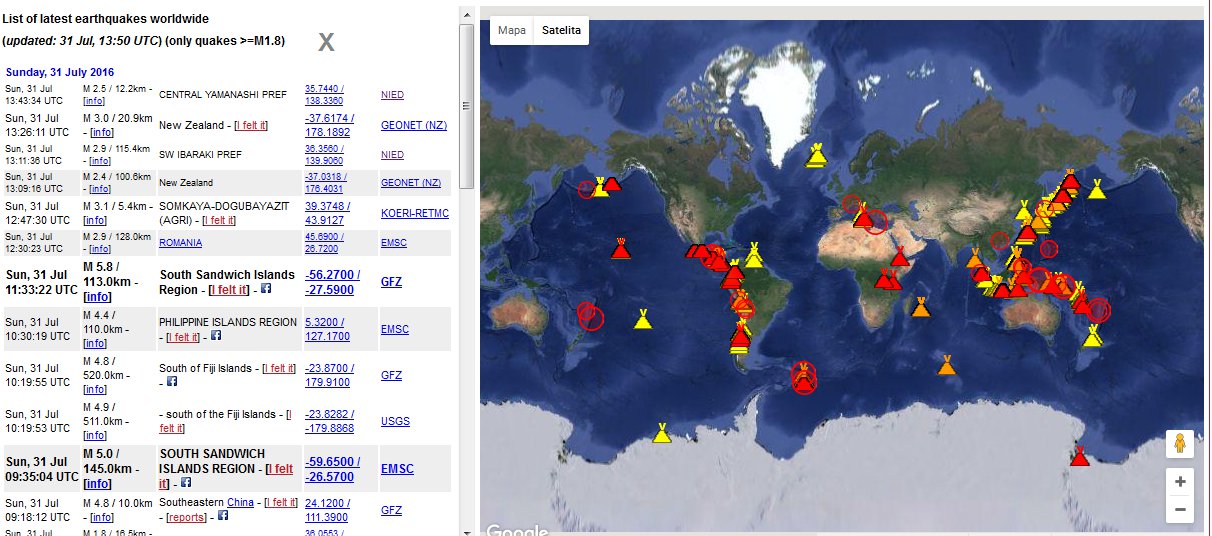
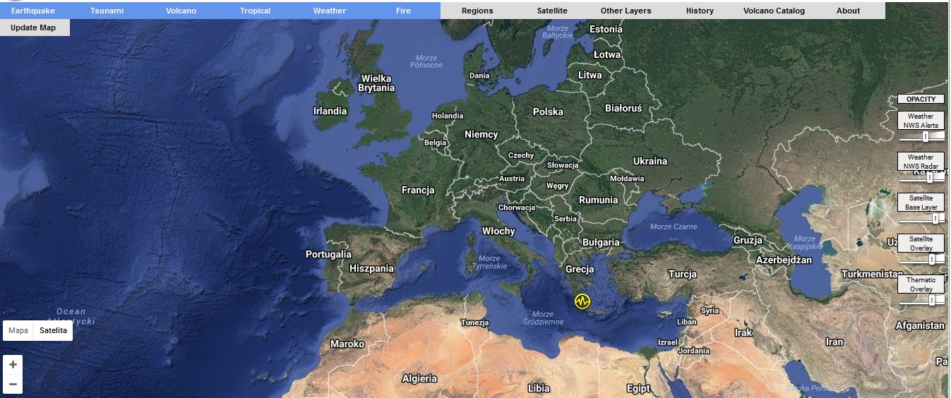
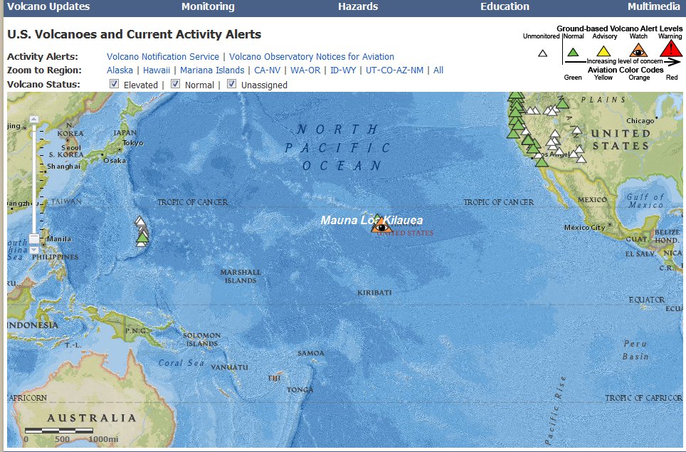
INTERACTIVE MAPS
Interactive Maps are very helpful for education providing resources to help teachers and students explore, create, and collaborate with mapping tools. Students who are taught geography are better equipped to understand how human and physical systems interact and to make informed decisions based on that knowledge. The maps presented below give information about volcanoes and earthquekes.
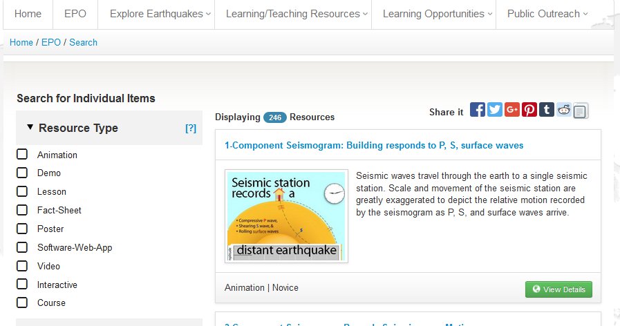
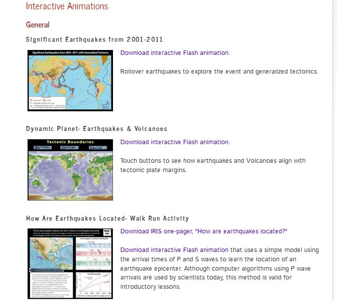
The IRIS web site provides a wide range of education and outreach resources.Their mission is to advance awareness and understanding of seismology and earth science while inspiring careers in geophysics.
The education resources are very rich and interesting, many animations, lessons, demonstrations, videos, posters, interactive maps, web tools.
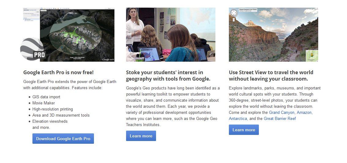
Google Earth Pro is now free!
Google Earth Pro extends the power of Google Earth with additional capabilities. Features include:
- GIS data import
- Movie Maker
- High-resolution printing
- Area and 3D measurement tools
- Elevation viewsheds
- and more.
Use Street View to travel the world without leaving your classroom. Explore landmarks, parks, museums, and important world cultural spots with your students. Through 360-degree, street-level photos, your students can explore the world without leaving the classroom. Come and explore the Grand Canyon, Amazon, Antarctica, and the Great Barrier Reef.